River Øle Å and nearby landscapes

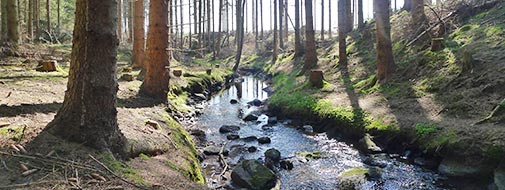
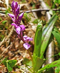
 A public path is following the upper river Øle Å. The 3 km tour is a diverse experience, passing through great variety of biotopes, Along the river, there are differences in hydrology and soil properties with outcrops of granite supporting remnants of dry heather vegetation (e.g. Calluna vulgaris) and rich moraine soils supporting remnants of a fen flora (e.g. Carex flacca). Under natural stands of alder and birch the summer guest is met by the yellow flowers of iris (Iris pseudacorus) and the smell of menth (Mentha aquatica), but in other places willows form dense shrubs.
The experience of the landscape is however heavily influenced by planted Norway spruce. These are planted very close to the stream and in most places the ground flora has disappeared and the stream lies in deep darkness. Norway spruce is not a natural tree in this landscape and the trees give the stream and the riparian zone a stereotypic and claustrophobic character. Øle Å accumulates needles, cones, twigs and trunks from the spruce, which are a very poor food source for macroinvertebrates.

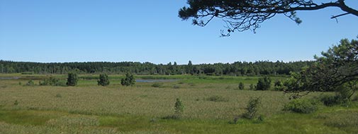
River Øle Å originates in the wetland, Ølene on central Bornholm, Denmark. With 22 km it is the longest stream on the island. Bornholm is an island (approx. 600 km2) in the Baltic Sea some 120 km east of Copenhagen. Bornholm is visited by a very large number of Danish, German and Sweden tourists ensuring the largest income to the community. Nice landscapes and nature habitats for visitors are located as relatively narrow strips along the coast and along the streams in close distance to the coast and as large predominantly forested and heather areas in central Bornholm, particularly Paradisbakkerne and Almindingen.

